
EVERETT — Freezing winds from Canada were expected to drop temperatures to single digits throughout the Western Washington lowlands for days starting late Thursday, according to the National Weather Service.
It could break records.
With wind chill, those lows would fall even further. In Everett, the lows with wind chill factored in were expected to reach zero degrees.
In Darrington? The forecast was 13 degrees below zero.
Index? Negative 16 degrees.
The National Weather Service released an “extreme cold” advisory Thursday, as cold air floods in from the Fraser River in British Columbia. The coldest temperatures were expected Friday through Sunday.
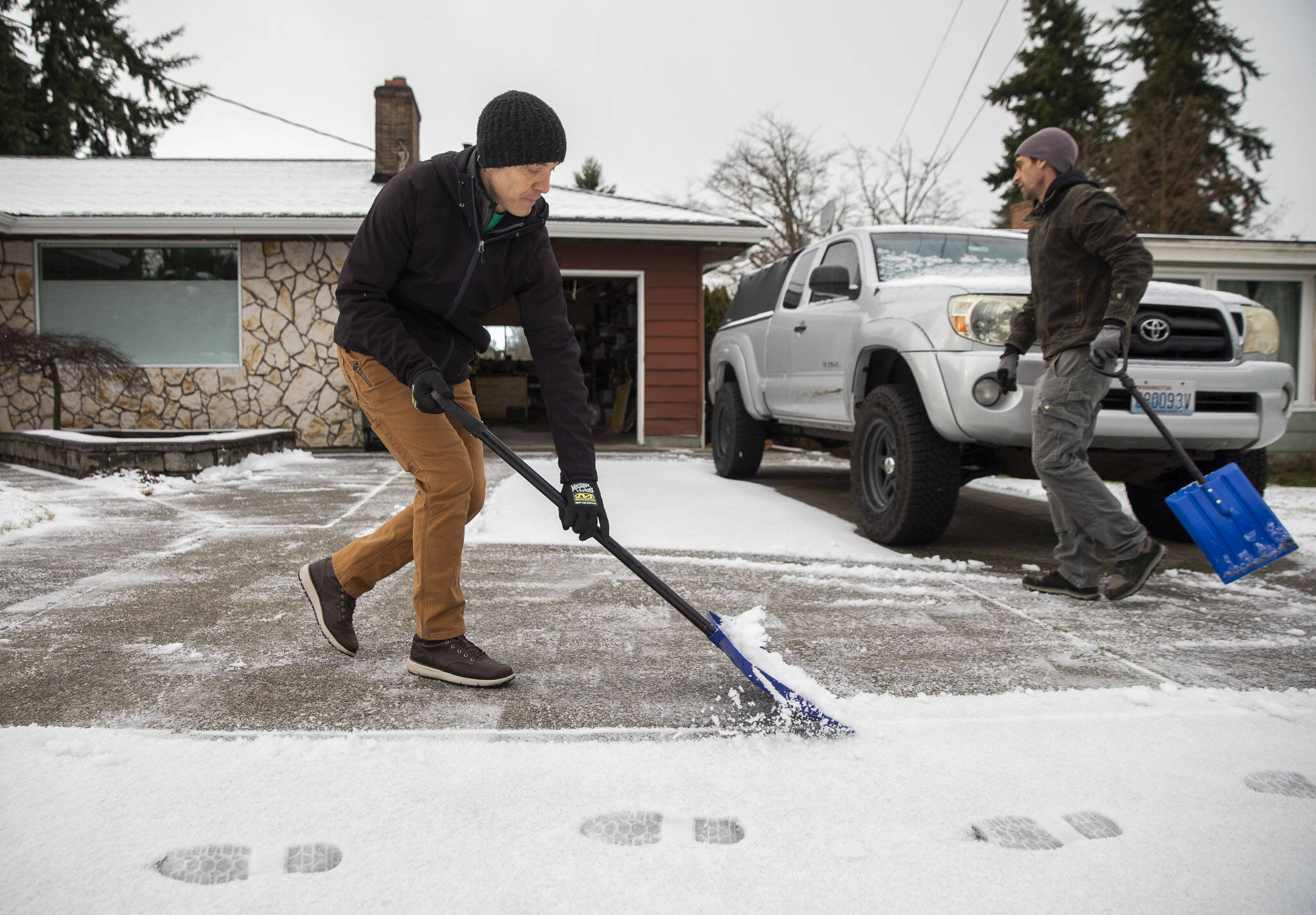
The cold snap would bring rapidly falling temperatures and could result in the flash freezing of any wet surfaces, including roads.
“The wind chills are going to be super cold,” weather service meteorologist Kirby Cook said.
Parts of Snohomish County were expected to see lows in the teens. Early Saturday morning, the low temperatures in Everett were expected to dip to 14 degrees. Further east in the county, Index could reach 3 degrees. In Darrington, that number was forecast to hit 0, or a bit lower, even without wind chill.
Snohomish County Public Works crews were prepared across the county for snow and ice on the roads. Road maintenance teams were stocked with plow and sander trucks, anti-icer trucks, 14,000 tons of sand-salt mix, 1,800 tons of sand, 1,100 tons of salt, 28,000 gallons of anti-icing liquid and 1,140 tons of ice kicker.
“We are monitoring the weather — public safety is our number one priority,” county Public Works Director Kelly Snyder said in a press release. “We have enough salt, sand, and mixed products available for at least seven continuous (24/7) days to address snowy and icy roadways. Steps have been taken to ensure we are able to secure additional abrasives should the need arise. Plus, the county’s fleet division is ready to repair our vehicles and replace our plow blades, as needed.”
Snow accumulation was expected to remain minimal in the lowlands, Cook said. Everett got some flurries Thursday, but was expected to see less than an inch of snow that stuck.
Other areas got walloped.
On Thursday afternoon, U.S. 2 was closed at Stevens Pass for the second time this week. High winds and heavy snow bombarded the roads between mileposts 58 and 80, after a previous closure Tuesday, according to the state Department of Transportation. There was no estimated time for reopening.
The National Weather Service had issued a Winter Storm Watch for the Cascades, predicting another 12 to 20 inches of snow accumulation in the mountains. The watch was in effect from 11 a.m. Thursday to 6 a.m. Friday.
Check the pipes
Freezing temperatures often mean frozen pipes, cutting off water to homes. If you haven’t already, make sure the pipes are fully winterized at your home.
Before heading out
Public works recommended checking travel routes. You can visit the Public Works snow and ice website to view priority routes for snowplowing, sanding and road closure information.
Cold weather shelter information
Visit bit.ly/snocoshelters for a rundown of all the cold weather shelters in the area.
Everett
Family Cold Weather Shelter at 5126 S. Second Ave.
Doors open from 4 to 8 p.m.
Contact speterson@egmission.org for more information.
United Church of Christ at 2624 Rockefeller Ave.
Doors open from 8 to 10 p.m.
Call 425-977-9686 for more information.
Marysville
Bethlehem Lutheran Church at 7215 51st Ave. NE.
Doors open from 7 to 9:30 p.m.
Call 425-686-9272 for more information.
Snohomish
Snohomish Evangelical Free Church at 210 Ave. B.
Doors open from 8 to 10 p.m.
Call 425-864-3765 for more information.
Monroe
Monroe United Methodist Church at 342 S. Lewis St.
Doors open from 8 to 10 p.m.
Shuttle to shelter departs at 7:45 p.m. from the Sultan library, 319 Main St.
Call 425-364-0824 for more information.
Jonathan Tall: 425-339-3486; jonathan.tall@heraldnet.com; Twitter: @snocojon.
Talk to us
> Give us your news tips.
> Send us a letter to the editor.
> More Herald contact information.

