Trails are busy this year.
As I’ve mentioned in this column before, a lot of other entertainment and recreation isn’t available — or if it is, people are wary in the midst of the pandemic.
But like Ian Malcolm fatefully said in “Jurassic Park” about life, we’re all finding a way. For thousands of people it’s meant biking, blading, scooting, skating and walking more than last year.
That’s great, even when it further popularizes well-tread places like the Centennial Trail.
But there also was some unfortunate timing by nature for another idyllic path in Snohomish County.
“Is the Whitehorse Trail open from the Arlington side?” Arlington resident Jon Annis asked The Daily Herald a few months ago.
Sorry for the extended delay, Jon.
I call it an exercise in practiced patience, which will be necessary for people hoping to travel the full length of Snohomish County’s Whitehorse Regional Trail.
The Stilly connection needs a little work.
A pair of natural events blocked and damaged parts of the Whitehorse Regional Trail — 27 mostly paved miles between Arlington and Darrington. It generally parallels Highway 530.
In 2014, the Stilly Valley area was devastated by the Oso mudslide that killed 43 people. A memorial was erected along Whitehorse Trail, which passes the site, near the former entrance to Steelhead Drive. Further monuments are planned.
The land’s steep slopes remain a slide risk, according to information from the Snohomish County Department of Emergency Management and Washington State Department of Natural Resources.
Fellow cyclist and former Herald editor Aaron Swaney wrote, “The intersection of decay and rebirth along the Fortson Mill section of the Whitehorse Trail is hard to ignore,” after biking on the path a few years ago when it was getting ready to reopen in full again. He also described it as “a hike on a bike.”
I can’t comment on it as I’ve yet to pedal that way on my Trek, though I’m not sure my road bike tires are ready for the compacted gravel put down by the county this year on parts of the trail.
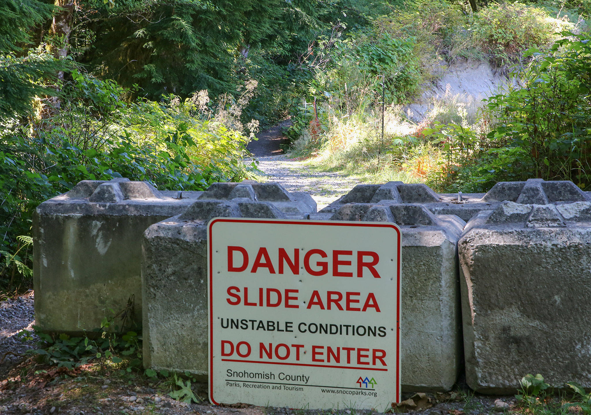
A landslide also closed Whitehorse two miles east of the Centennial Trail intersection in Arlington and west of the Trafton trailhead. Snohomish County Parks staff don’t know what caused the slide, but hope to receive a grant to pay for a geotechnical engineer to evaluate the site, propose a solution and cover repair expenses. That would happen over the coming two years.
A washout by the North Fork Stillaguamish River’s natural movement took out part of the trail’s east end, just west of 435th Avenue NE and about three miles west from Darrington. The county plans to create a bypass through this area.
“Snohomish County Parks staff have applied for grants and are working with adjacent landowners for a possible trail reroute,” county spokesperson Rose Smith said in an email.
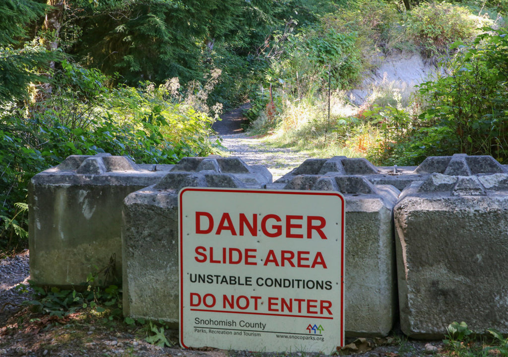
People aren’t supposed to try to cross the closed sections, though it seems some do despite signs warning of slide danger and telling trail users “DO NOT ENTER.”
These sections of the Whitehorse Trail are likely off limits for the next year or two, Smith said.
Until the county can repair or officially reroute those parts of the trail, people should plan to travel between the closures or venture onto Highway 530/Arlington-Darrington Road to circumvent those stretches.
You know, find a way.
Have a question? Email streetsmarts@heraldnet.com. Please include your first and last name and city of residence.
Talk to us
> Give us your news tips.
> Send us a letter to the editor.
> More Herald contact information.


