
EVERETT — Your efforts are working if you’ve been sleeping with a spoon under your pillow this week.
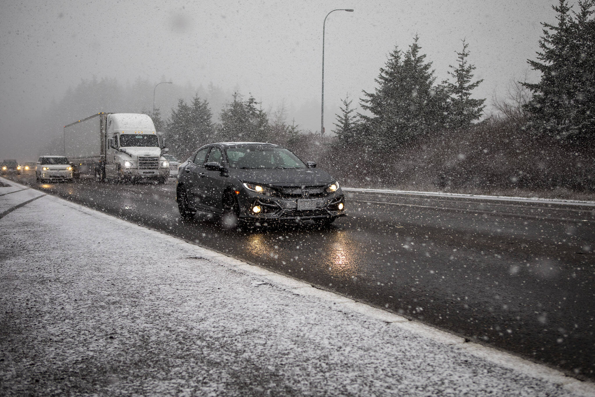
Whether you believe the superstitious snow ritual or not, the National Weather Service is predicting a 90% chance of snow for many rural areas of Snohomish County, possibly as soon as Friday night.
By Saturday night, cooler temperatures increase the probability for snow in lowland locations like Everett. Temperatures are expected to hit 32 degrees, with wind chill making it feel more like 25 degrees.
Sunday will bring Everett more mixed rain and snow, shifting into all snow as temperatures drop to a predicted low of 30 degrees at night.
“We’ll have on and off showers. You’ll have a heavier shower move through, maybe with a rain, snow mix or snow, and then dry out for a period, and then another round of showers move through,” National Weather meteorologist Jacob DeFlitch said.
As for next week, the weather service warns the coldest air by far this season will remain over the region next week with day time highs hovering around the mid 30s.
The weather service issued a winter weather advisory for snow up to 2 inches for the east Puget Sound lowlands from 10 p.m. Friday to 10 p.m. Saturday.
For towns in higher elevations, such as Gold Bar, Darrington and Verlot, a winter storm watch is in effect Saturday evening through Monday morning, where 2 to 6 inches of snow are possible.
Stevens Pass is expecting snow throughout the weekend. The ski resort is expecting 6 to 10 inches of snow on Saturday, and a possible 2 to 5 inches on Sunday.
Eliza Aronson: 425-339-3434; eliza.aronson@heraldnet.com; X: @ElizaAronson.
Eliza’s stories are supported by the Herald’s Environmental and Climate Reporting Fund.
Talk to us
> Give us your news tips.
> Send us a letter to the editor.
> More Herald contact information.

