By KEITH RIDLER and JEFF MARTIN
Associated Press
BOISE, Idaho — A winter storm has swept aside two long-standing snow records in Boise, Idaho, and is moving east as turbulent weather lined up across much of the country Thursday with watches covering large parts of the South.
The National Weather Service says snow accumulating for several weeks reached 15 inches Thursday in Boise and broke the previous snow-depth record of 13 inches set twice in the mid-1980s.
The service also says that the 6.5 inches of snow that fell Wednesday eclipsed the 1951 record of 3.2 inches.
Meteorologist Jay Breidenbach with the National Weather Service in Boise says an Arctic air mass in Idaho combined with moist air off the Pacific Ocean is driving the storm east to bring snow to Colorado and New Mexico.
He said the storm will continue moving east and “could bring a wintery mix to some southern cities like Atlanta.”
Winter storm watches Thursday covered large parts of Georgia, Alabama and the Carolinas ahead of the storm system that threatens to spread a wintry mix of rain, sleet and snow across the region.
Certainly any snow down your way is significant because of potential disruptions to local traffic and all the activities throughout the Southeast,” said Mike Schichtel, lead forecaster at the federal government’s Weather Prediction Center in College Park, Maryland.
But for California, it’s rain, not snow that is causing problems. In Southern California, Thursday morning commuters were warned of slick roads as a series of rain storms moved through. Counties in Central California were under a flash flood warning until 1 p.m. Thursday.
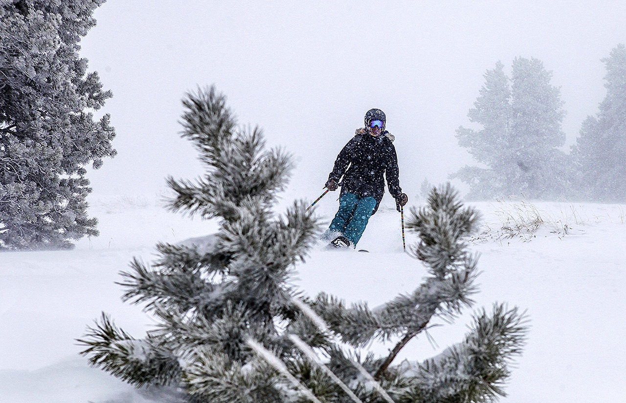
But on Thursday, heavy snow and strong winds raised the avalanche danger in much of Colorado’s high country.
Some areas have seen several feet of new snow while others had received less than a foot by Thursday morning, the Colorado Avalanche Information Center, reported. Two passes were shut down so crews could reduce the chance of avalanches.
In Utah, an overnight winter storm dumped as much as 9 inches of snow on parts of northern Utah and forced at least half a dozen school districts to cancel or delay classes Thursday.
The National Weather Service reported that Salt Lake City International Airport saw nearly 5 inches of snow overnight, with other pockets receiving 3 to 4 inches.
With a threat of freezing rain to parts of the Deep South, Schichtel urged residents to be on guard and avoid driving if conditions deteriorate. It only takes a thin layer of ice to create havoc for all types of vehicles, he said.
“If you have a four-wheel-drive vehicle and you think you’re safe, you’re not,” Schichtel said of icy conditions. “Take it very seriously and adjust your travel plans accordingly. Even if the reports are for very minor icing, I would avoid the roads.”
Talk to us
> Give us your news tips.
> Send us a letter to the editor.
> More Herald contact information.


