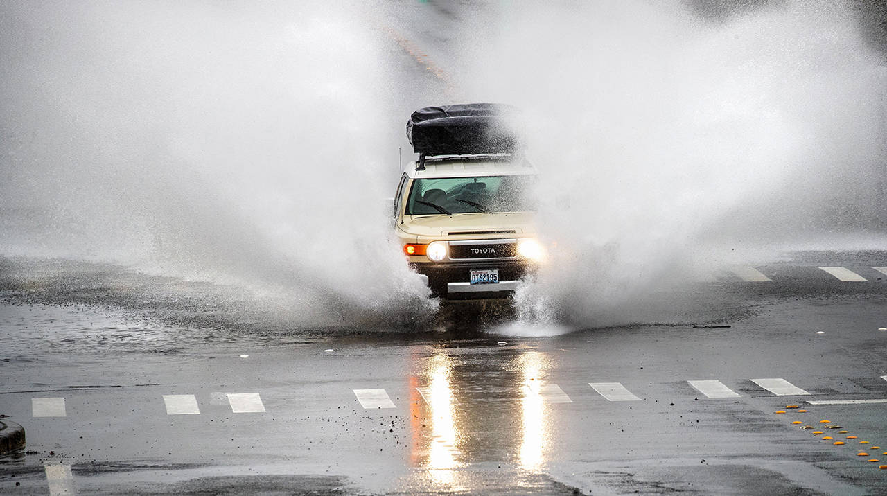
Associated Press
SEATTLE — The Pacific Northwest is bracing for flooding and landslides, while the mountains will see heavy snow and possible avalanches on Tuesday and Wednesday as an atmospheric river collides with Washington and Oregon.
The Snoqualmie River near Carnation is expected to produce minor to moderate flooding by Wednesday. Even metro areas like Seattle, Tacoma and Olympia could experience street flooding due to intense downpours, KOMO-TV reported.
The National Weather Service in Portland has issued a Flood Watch for 10 p.m. Monday night to Wednesday morning at 10 a.m., which is the window of concern early this week. As the event continues on during the day, we may start seeing some vulnerable land break down and the integrity of some slopes weaken, KOIN reported.
“So when you look out, it looks kind of like a lake,” said David Haakenson, owner and operator of Jubilee Farms in Carnation.
Excessive rain is also leading to a sky-high threat for landslides like one in Poulsbo last week could become more common into Tuesday and Wednesday.
Over the mountains, one to two feet of snow could pile over the Northern Cascades overnight and Tuesday — expected to make travel over Stevens Pass near impossible into early Tuesday. Snow should convert to rain over Stevens Pass by midday on Tuesday as snow levels rise.
“For the Stevens Pass corridor, we’re looking at the avalanche trend increasing tonight with incoming snowfall,” said Harlan Sheppard, Washington State Department of Transportation Avalanche Forecaster and Control Technician.
Sheppard says they plan to do avalanche control over Stevens Pass early Tuesday and probably on Wednesday morning.
Talk to us
> Give us your news tips.
> Send us a letter to the editor.
> More Herald contact information.


